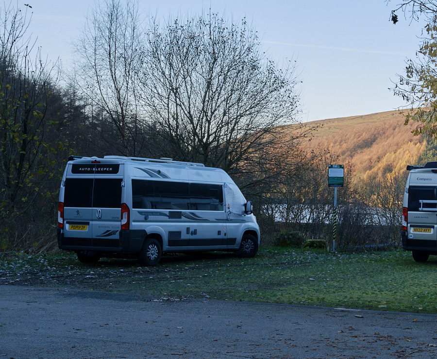
One Friday night, in the dark, towards the end of November, I set off from home in the direction of the Derbyshire Peak District. Three hours later, I parked my campervan in the car-park of a friendly pub, and settled down for a night of testing its heating system against the outside temperatures, which had dropped well below zero!
But the following morning dawned bright and clear, and I could see the edge of Ladybower Reservoir.
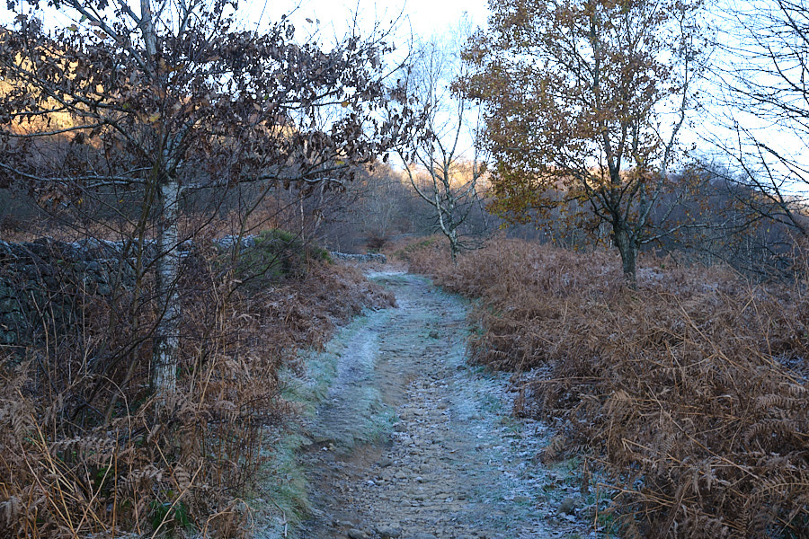
With the sun still only on the hilltops, I headed up the frosty path behind the pub, looking forward to emerging into the brightness above.
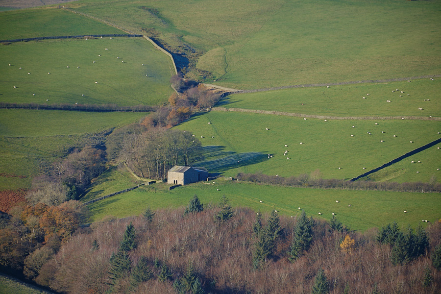
Before too long, I was looking down at sunlit fields of happy sheep…
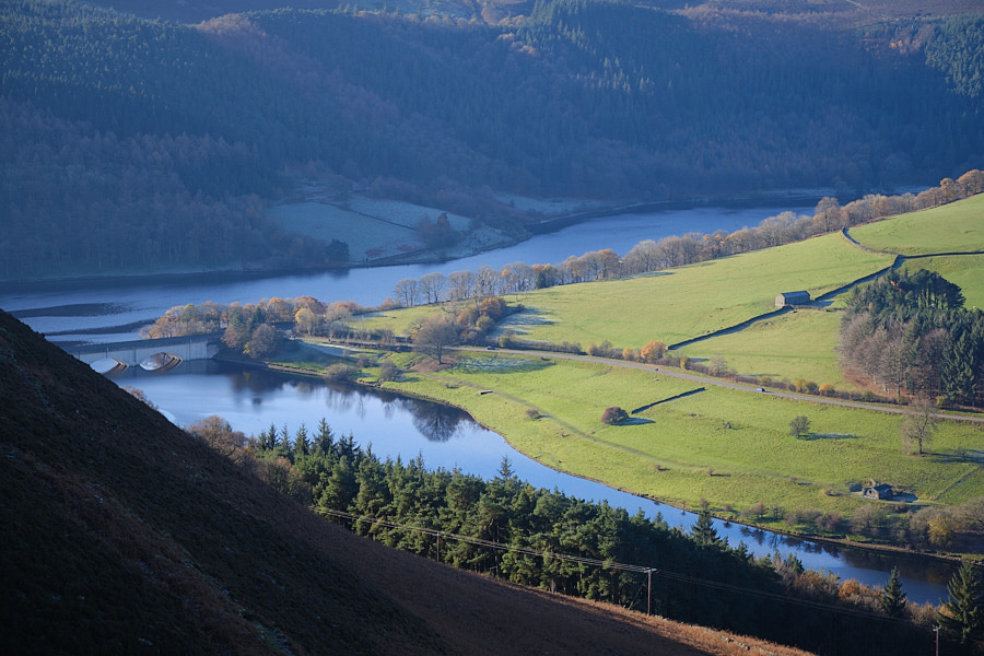
and the reservoir I had left behind.
Once up on the top of Derwent Edge, the path was easy and, though the air temperature was low, there was almost no wind, which made for delightful walking conditions. I met many other travellers who were enjoying it as much as I was.
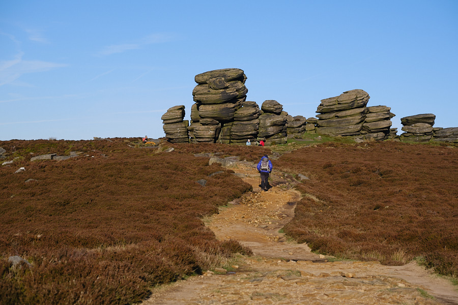
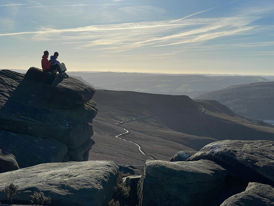
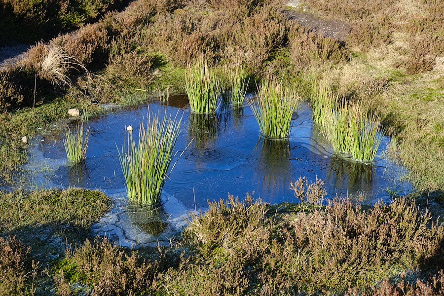
Places that might have been very muddy were now frozen, and the places that might have been untraversable bog…
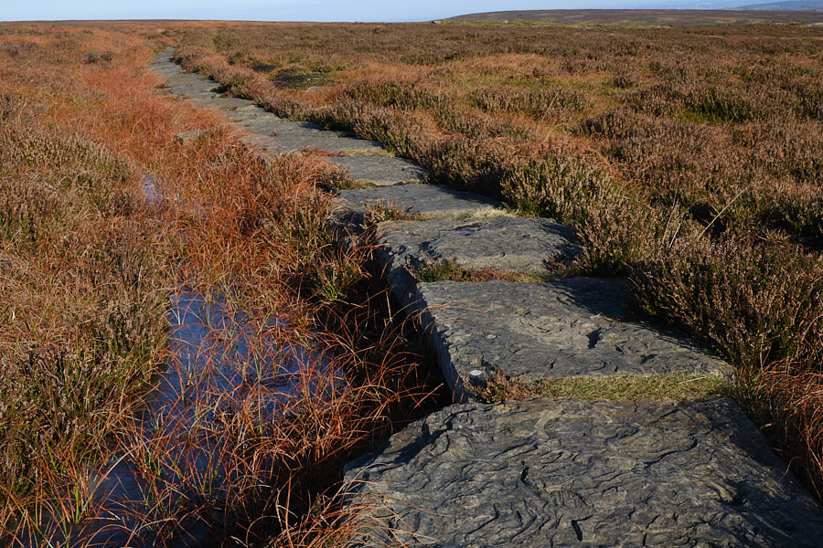
were crossed by well-maintained paths, winding into the distance.
It really is a very pretty area…
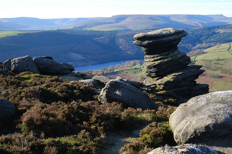
…with lots of fun and varied rock formations en route.
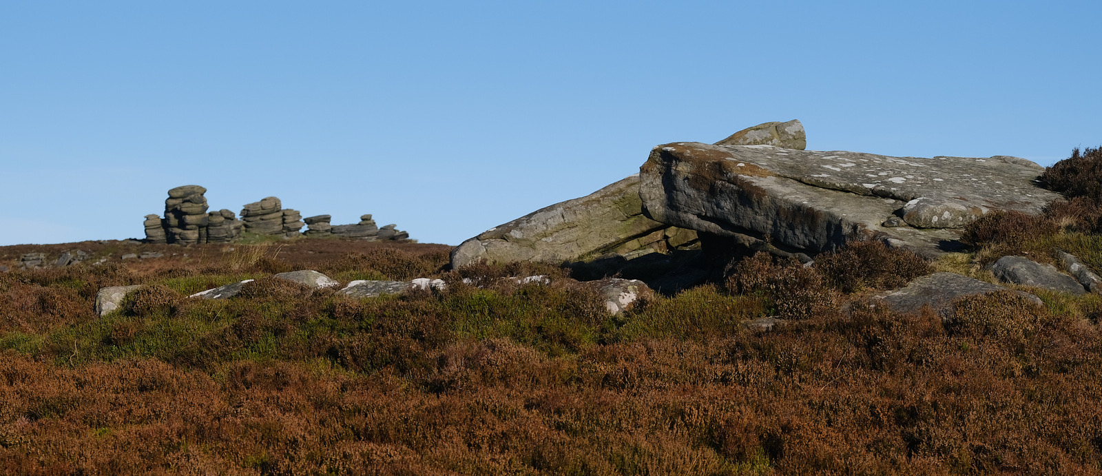
But it’s not without its perils. Many an unwary traveller has become prey to the giant prehistoric lizard who hides behind one of the ridges and creeps up on them from behind after they have passed by.
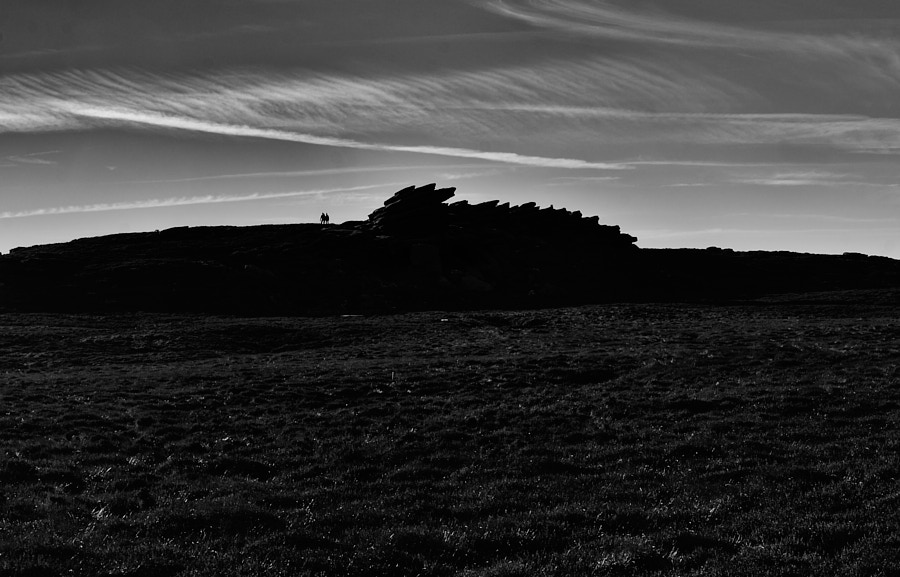
Despite this, I was having such a good time that I got a bit carried away, and what had been intended as a short morning stroll got extended for mile after mile after mile.
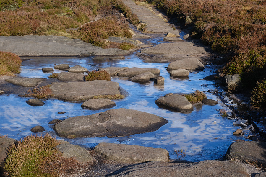
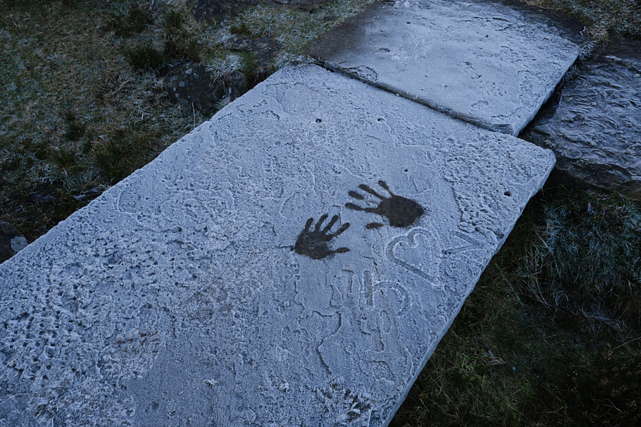
Though the weather was lovely, the areas in shadow were still frozen, and I was impressed at the dedication of the couple who had given up this quantity of their bodily warmth, long before I appeared on the scene, to record their affection on a thick slab of stone!
By this point I had done about eight miles and was starting to be more aware of the fact that I had set off without even a biscuit (since I had expected to be back for lunch!)
So I was glad when I reached the path theat would take me back to the reservoirs below: a gully cutting down through the Howden Moors.
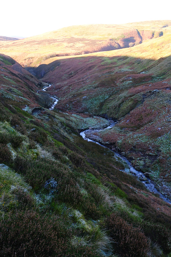
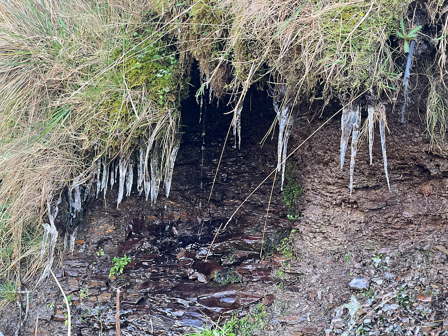
The sun was getting lower, and much of this area was in shadow. Icicles dripped beside me…
…and in places I was rather conscious of the perilous drops to my right, as I, a tired, lone traveller, contemplating the likely time of sunset and remembering the temperatures of the night before, negotiated a path that I think was primarily used by the local sheep. The slimmer individuals amongst the local sheep, too…
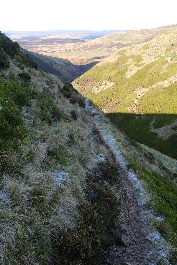
So it was with some relief that I made it down to more sheltered, level ground again in the last vestiges of the sunshine.
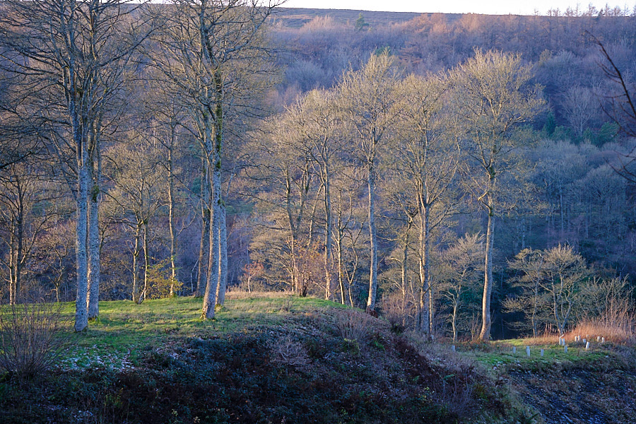
However… it was still 3 or 4 miles back to the van, so I set off in the gathering gloom along the side of the reservoir, passing the impressive Derwent Dam where the Dambuster squadron used to practice.
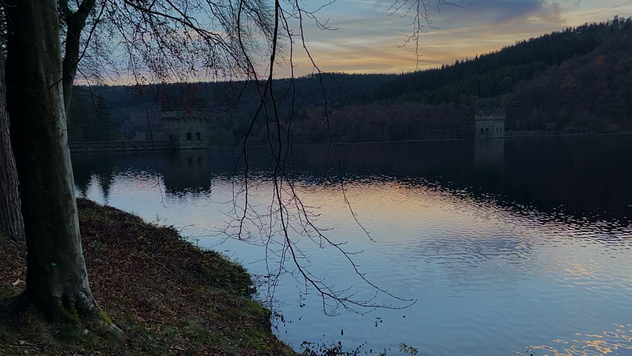
Just beyond the dam, I joined a lovely woodland path, broad and well-maintained, which was good because by that point I was dependent entirely on moonlight to avoid any obstructions! The trees were just slightly darker patches of black to my left and right. But I managed to avoid walking into them, or tripping over their roots, and so it was that I arrived, footsore but happy, back at the van, whence I had set off for a short morning walk after a small bowl of cereal 15.3 miles earlier!
A lovely area for walking and highly recommended, though I do suggest you also take a biscuit or two!
More information about the rest of the trip should be coming before too long on the campervan section of my YouTube channel.
I’ve always wanted to see the overflows for that reservoir in full-flow. I guess they’re to the extreme right and left of your final photo?
Hi Gareth –
Actually, it’s designed to overflow right over the top, and there’s a big pool to catch the run-off on the other side.
Have a look at
https://statusq.org/wp-content/uploads/2023/12/IMG_6053.mov
and
https://statusq.org/wp-content/uploads/2023/12/IMG_6051.
Q
These are the overflows I was referring to: https://www.instagram.com/reel/Czi-VROMIi-/
Ah, yes – very cool – but technically, the big Y-shaped lake is three or four different reservoirs. Those are, I think, down at the main Ladybower Dam, whereas the one in my photo is the Derwent Dam, which is here:
https://maps.app.goo.gl/g3SeFyKB3stV1o4S7
Gorgeous pictures.