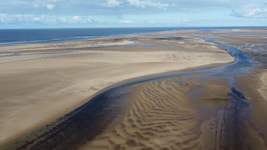
On the North Norfolk coast, you get these fabulous beaches.
Wonderful places to walk, though you may have to cover some distance at low tide if you actually want to see the sea! You can see how we had to fight our way through the crowds yesterday to find a space to launch the drone!
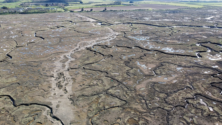
Between this beach and the car park, however, are salt marshes, which are also fascinating, and I’ve photographed them before, and more than once, from ground level. But the patterns and the scale start to become apparent when you can get a bit higher up.
That’s the path we took to walk out to the beach — the car park is where the brown meets the green — and it’s the path we should have taken to walk back.
(I’ve uploaded full-resolution photos too, so if you click on the pictures, you should be able to see rather more details, if your browser lets you zoom in. Can you see the bridge?)
We tried to find an alternative route back, an approach which had worked in the past here. But the marshes are always changing; you can think you’re almost at your destination, only to come suddenly upon a deep muddy trench that will give you no choice but to backtrack and lose the gains you’d made in the last 20 minutes.
It’s like a maze, but with more leaping. Don’t try it if the sun is going down!
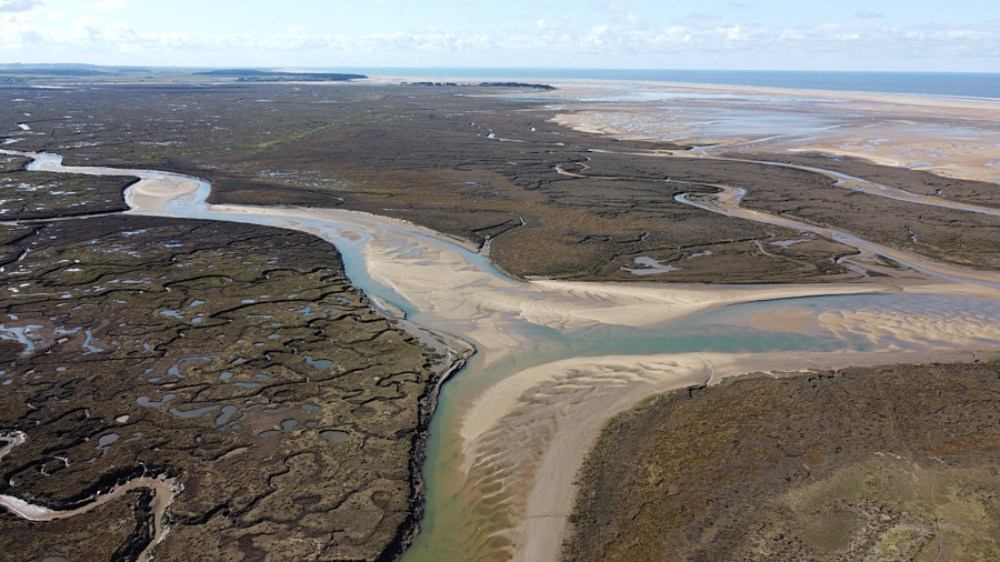
There are some lovely spots where the marsh meets the beach.
But it’s the wiggly lines that I like the most.
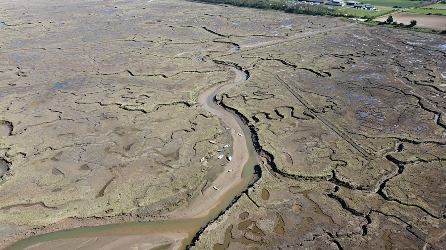
You can perhaps see the same bridge in this picture: about three-quarters of the way up, in the middle. There used to be a couple more bridges over some of the tributaries, but I haven’t seen them on recent visits.
So I do wonder how the owners of those little boats get to them! At the moment, at least, what they’re sitting on is not nice dry sand, even if you can find your way there.
It’s a lovely and unusual spot.
Now, the real question is… who saw the title above and thought of Puddleglum?


Recent Comments