Category Archives: Travel

In the footsteps, and wake, of the Swallows and Amazons


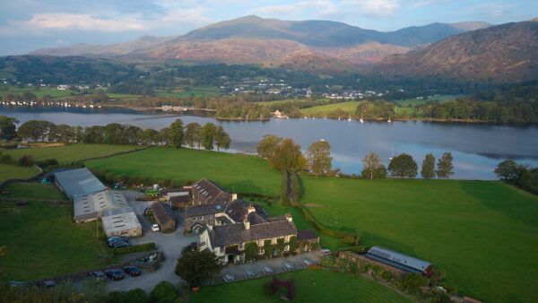
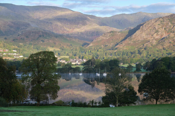
Coniston Water with Bank Ground Farm in the foreground, and the village and the Old Man Of Coniston behind.
(Click images for larger versions.)

Coniston Water, in the English Lake District, is one of my favourite places on Earth.  That’s partly because it’s so beautiful, and partly because it brings back so many memories of happy childhood holidays.  

My parents had an elderly caravan which we would often tow 300 miles or so from Hertfordshire, and a favourite spot to park it was at Pier Cottage, the small site roughly in the middle of the photo above on the far side of the lake.  On the roof of the car, we would have either our little Mirror sailing dinghy, or a couple of kayaks.  Sometimes we even managed to get a couple of bicycles in the caravan too.  Most pitches there have a little bit of shoreline, and the distance from the van to the water was about 10 metres.  

I remember early one slightly misty morning, my brother and I balanced our bowls of cereal on the front of our kayaks, and paddled out to have breakfast in the middle of the lake, which we had pretty much to ourselves.  

I am fortunate to have had a very happy childhood filled with great experiences, but this is seared into my memory as one of the best moments.  Other fun activities available from the caravan door included walking around the lake (about 12 miles) or climbing the Old Man of Coniston: the hill in the background (about 2500ft).  Only much later did I realise that my parents also probably encouraged such activities so that they could have a bit of time to themselves!
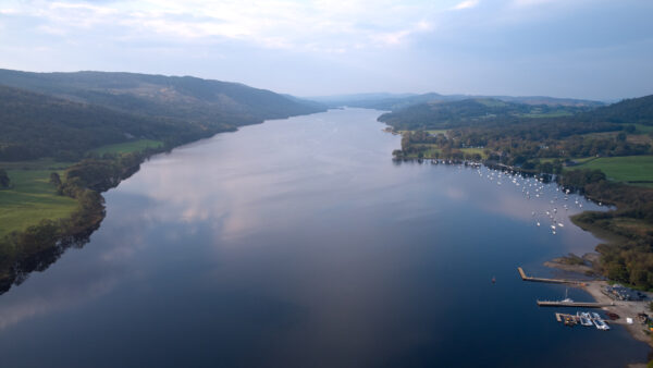

Looking southward down Coniston Water.

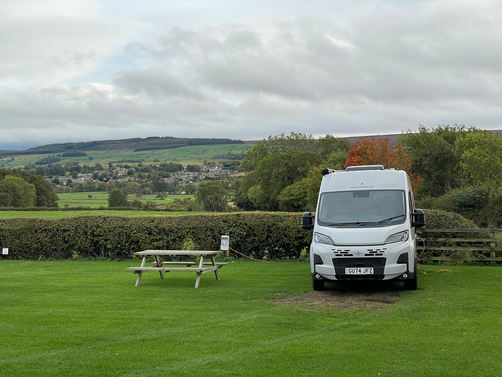
I still return to the Lake District most years, but last month, for the first time since my childhood, we were once again taking a sailing dinghy to Coniston. This time it was our Tideway 12, named Shingebis. We weren’t, however, camping; we were staying at Bank Ground Farm, on the eastern side of the lake.
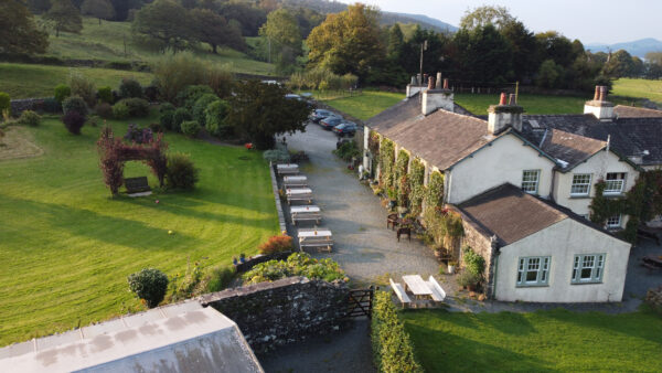

Bank Ground Farm

The farm is famous for being “Holly Howe” in the Swallows and Amazons series by Arthur Ransome — also an important part of my childhood — and we’ve been rediscovering the books as adults… chiefly through the unabridged audiobook versions expertly narrated by Gareth Armstrong.  When we’re on a long journey, especially towards a nautical destination, they help make the motorways much more enjoyable, and instill a suitable sense of adventure in our travels!

So, on this trip, we were in a very Ransomesque mood, in which I will unashamedly indulge for the remainder of this post, with apologies to those who have not grown up with the same enthusiasms!  If you explore the books as an adult, you need to remember that they were written for youngish children, about a century ago, and approach Swallows and Amazons as you might The Railway Children or The Phoenix and the Carpet.  If it seems a little tame to you, then try my favourite, We Didn’t Mean to Go To Sea, which is a wonderful adventure with real jeopardy.

(And if you’re unfortunate enough only to have seen the dreadful 2016 film version, then reformat your brain, install a new operating system, and start from scratch.  It is universally agreed among the cognoscenti that the 1974 film, starring Ronald Fraser and Virginia McKenna, is greatly superior.)

Swallows and Amazons, like many of the later books, is set on and around a ‘lake in the north’, which is a blend of Coniston and Windermere.  We were meeting up on Coniston to sail with our friends from the Tideway Owners’ Association (TOA), most of whom share our enthusiasm for the books, so we could revel in our escapism!

The Walker children arrive at ‘Holly Howe’ and are staying there when their adventure begins.  At the start of the film you see them running across the field, down to the lake, where, once they have paternal approval, they are able to set sail for their adventures in the Swallow.  We were staying in a small lodge next to the farm, which is at the top of that same field, and took the same route down to the pontoon where we moored our own boat, Shingebis, for the week, next to the boathouse that once housed Swallow.  
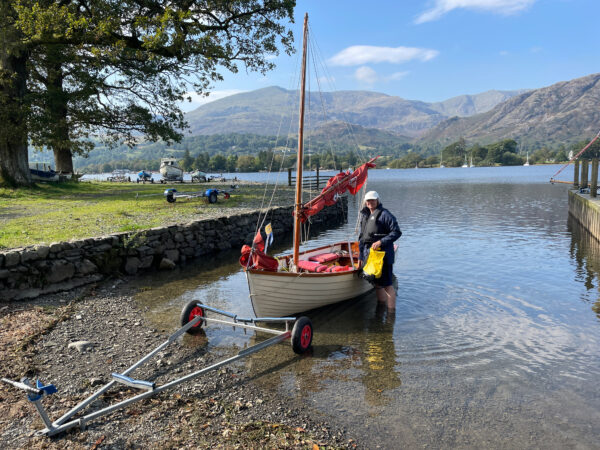

Rose and Shingebis at Bank Ground Farm

Many of the places, and vessels, and some of the people mentioned in the books were real, though often given new names in their fictional form. Amazon, for example, is based on a boat originally named Mavis, which can still be seen in a local museum.  But this blurring of fiction and reality is quite fun if you’re interested in finding the locations. An excellent introduction, and a good present for any Ransome fans, is Christina Hardyment’s “Arthur Ransome & Captain Flint’s Trunk“.

Anyway, if you’re setting sail from Holly Howe, one of the first things you have to do, of course, is go and visit ‘Wild Cat Island’, which is actually a blend of Blake Holme, an island on Windermere, and Peel Island, towards the southern end of Coniston.  The famous ‘Secret Harbour’ is definitely on Peel Island though, and is just as described.
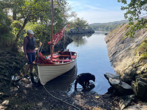

Tilly stops off for a drink in the Secret Harbour.
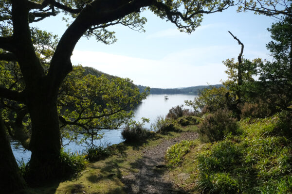

The view south from Wild Cat Island.

If you carry on to the south end of the lake, you get to ‘Swainson’s Farm’, which really was owned by a family named Swainson who were friends of Ransome’s.  And here’s where the mapping between factual and fictional geography gets a little blurred, because this is where the Amazon’s boathouse is, and the river that ought to flow into the lake actually flows out, but it does take you to Allan Tarn, which fans will know as ‘Octopus Lagoon’.


Down the Amazon River to Octopus Lagoon.

The Amazon’s crew, of course, lived at “Beckfoot”, which, to the extent it exists at all, is probably at the far end of the lake, and possibly actually on Windermere.  One can’t take these locations too… ahem… literally!

When we returned to the lake, we dropped our anchor in a little bay for a picnic lunch, and then headed back to Holly Howe.  There was almost no wind, and so we were adopting a technique I call e-sailing.  This is analogous to riding an e-bike, and involves making use of natural power with some assistance from a battery — in our case, to get us over each glassy patch of still water to the next spot where the light wind was ruffling the surface.  This was just as well, since the lake is about 5 miles long and it would have been a long row!

~

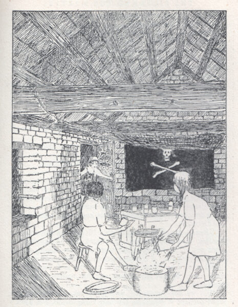
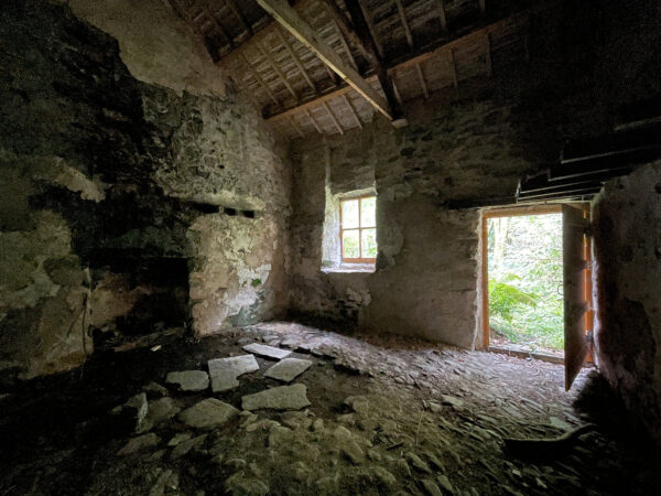
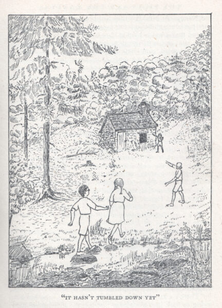
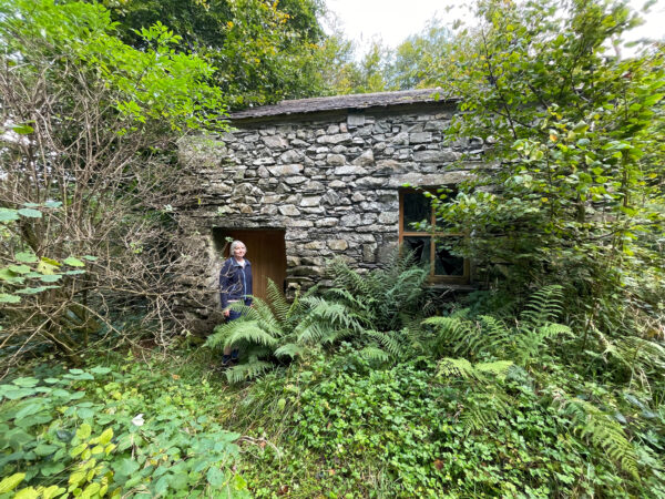
A couple of days later, we continued in the footsteps of Ransome’s characters.  Hidden up in the woods on the east side of the lake is an old stone hut, which you would never stumble across unless you knew where to look.  It featured in The Picts and the Martyrs as the ‘Dog’s Home”, where Dick and Dorothea had to camp for a week and a half to avoid being seen by the Amazons’ Great Aunt.  Though the surrounding clearing is now somewhat overgrown, as Nancy observed a century ago, “It hasn’t tumbled down yet”.
We then went in search of locations from Swallowdale.  At the south end of the lake, we crossed the ‘Amazon river’ we had previously explored by boat and reached the little hamlet of Water Yeat, where we parked and walked up a lovely road past the prettily-situated Greenholm Farm.  The road became a track, and eventually took us to Beacon Tarn.  We know from Ransome’s notes that this was where Roger caught his trout in the book, and so became ‘Trout Tarn’.  Nearby, there was a vary plausible candidate for the ‘Lookout Rock’.  In the distance we could see the peak of The Old Man of Coniston, which I have climbed many times.  The children in the book christen it ‘Kanchenjunga’, and they set out from Swallowdale across ‘High Moor’ to climb it.  We took the more relaxed option of sitting beside the tarn enjoying a picnic, but as we did so, some of our more energetic TOA friends had just reached the summit. 
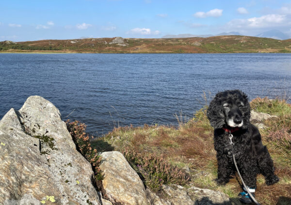

The Ship’s Dog at ‘Trout Tarn’, with ‘Kanchenjunga’ in the distance.

A true location for the little valley named ‘Swallowdale’ has never really been established.  It is meant to be on the beck flowing out of the tarn, but no such spot exists here.  Ransome once said, tantalisingly, that all the places in the books exist somewhere, but this he must have transported from another location.  Still, as readers will know, one of the primary attractions of Swallowdale was that it was almost impossible to find!

~

The following days held more sailing and walking with friends, and, given that the Lake District is one of the rainiest places in Britain, we got to the end of our trip astonished that we’d had an entire week there in September without any precipitation and, in fact, requiring the application of a considerable amount of sun cream!  We’d also had a splendid time exploring the boundaries between fact and fiction, between childhood and adulthood.

As we fastened the cover over Shingebis on her trailer, ready for the drive home, raindrops started to fall, and the entire journey thereafter was in a downpour: a curtain through which we passed as we left that magical world and returned to reality.

But we can easily go back again in the future.  Perhaps even just by picking up a book.
Wavelength

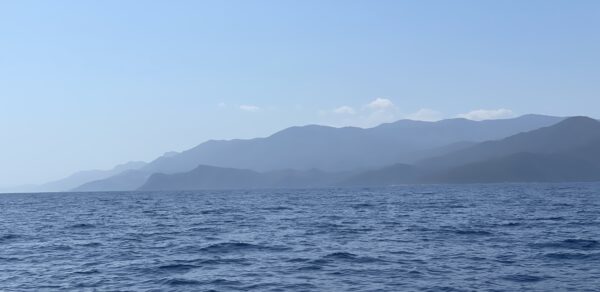
I haven’t posted for a while, partly because I’m on a small boat here in the Argolian Gulf, courtesy of my kind friend Philip Sargent. The photo above was taken just a couple of minutes ago.

It’s my first trip to Greece, and I’m loving it. The temperatures well into the 30s are hard to take, but there’s quite a bit of compensation in the fact that if you step off the boat into the turquoise water, as I do a couple of times per day, it cools you pleasantly to its 29C.

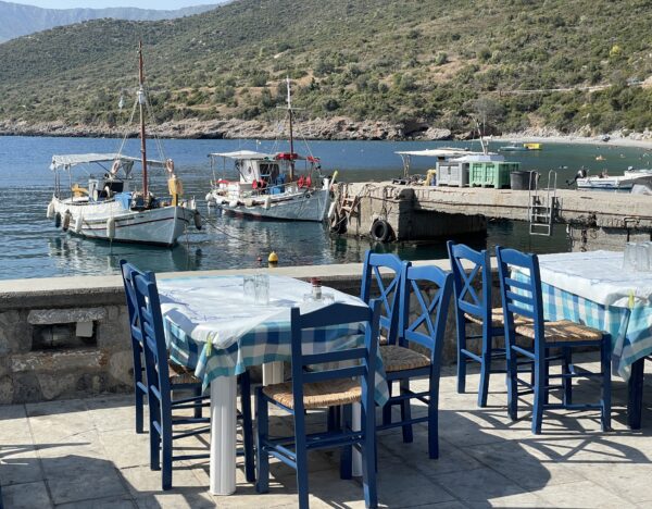
I can’t really blame my radio silence on lack of connectivity, though, since absolutely everywhere I’ve been has had excellent 5G coverage, including at this tiny port where we spent last night.

Why can the Greeks manage this when, at home, just a couple of miles from the high-tech hub that is Cambridge, I can only get a poor 4G signal?

Yes, I know, some of it is to do with the fact that they have mountains here, and that a lot of the signals are travelling over water, and so on, but I can’t help feeling that perhaps the gods on Olympus look more favourably on cellphone users than some other deities.

Go West

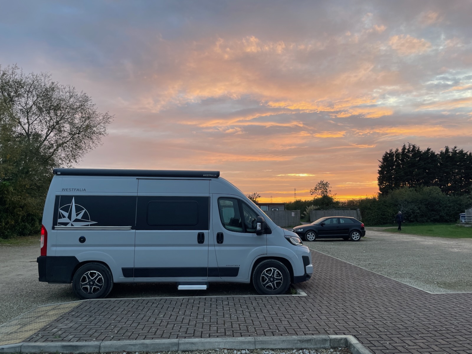
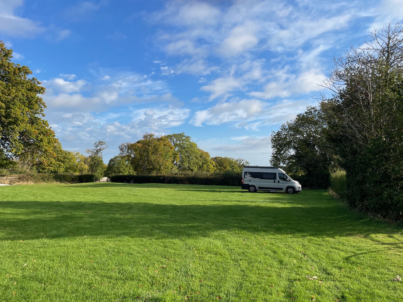
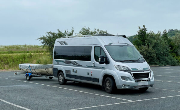
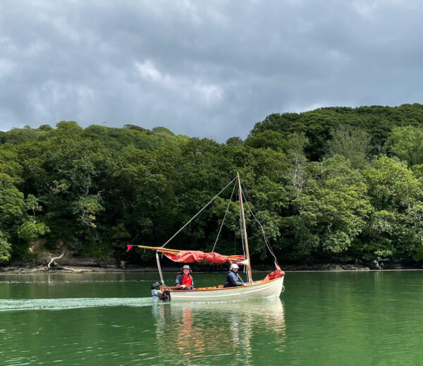
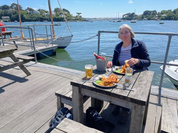
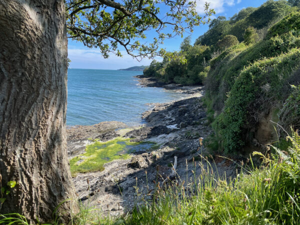
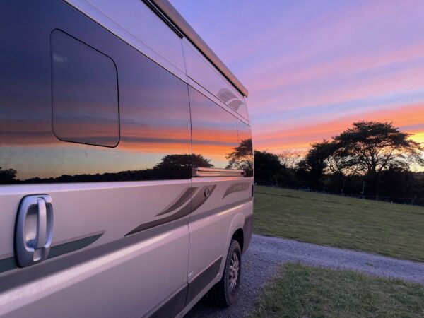
We’ve been away for the last week or so on the south coast of Cornwall, and it was a great trip. We had our folding e-bikes inside the van, and our little boat behind, which meant it wasn’t always the easiest setup to take along narrow Cornish lanes, especially if we found ourselves needing to reverse!

Once we arrived, though, we did most of our travelling like this:

We ate at one of our favourite locations:

We enjoyed walks with some wonderful views:

And slept soundly in our van.

And now, back to normal life!

Road (Enthusiast) Rage?

Many years ago, we discovered that audiobooks are a wonderful way to make long journeys seem shorter, and seldom does a motorway junction go by without it being accompanied by a snatch of, say, Jules Verne, PG Wodehouse, Arthur Ransome, Neville Shute or Patrick O’Brian.  

Aside: This is one reason why I’m delighted with my latest Tesla software update: as of last week, my car now includes an Audible app, and a single button-press on the steering wheel will continue the current adventure from wherever we left off.  But more about Tesla software updates will follow in a future post…

But if audiobooks aren’t your thing, and you want alternative sources of distraction en route, perhaps you could ponder the history of the numbers of the roads themselves!  This is the topic of a surprisingly interesting blog post by Chris Marshall, talking about UK road numbers like ‘A14’ and ‘B5286’.  

Have you ever wondered where they come from, what the rules are, or who cares about it when the local authorities get the numbers wrong?  Because they do get them wrong, you know, and then SABRE, the Society for All British and Irish Road Enthusiasts swings into action to try to get things put right!

You may feel strongly about this.  You may want to join them and rattle a sabre of your own from time to time.  Then, perhaps, you could join The Milestone Society.  But even if not, Chris’s post will start to educate you, and then you might try searching for your favourite road on the SABRE Wiki!

But not, of course, while you’re driving.

A cautionary travel tale

On Monday evening, I had a ticket booked to bring me back on the overnight ferry from the Hook of Holland to Harwich. (Here’s a bit of trivia for you: ‘Hook of Holland’ is actually a mistranslation of the Dutch name Hoek van Holland. ‘Hoek’, in Dutch, means ‘corner’, not ‘hook’. And if you know that Holland is only the north-west part of the Netherlands, then it is indeed the bottom-left corner of Holland, which is enlightening to those who, like me, have perused the map wondering what was quite so hook-y about it.)

Anyway, I duly arrived in the area, in my campervan, a few hours early and saw the ferry at the quay but, since you couldn’t check in before 9pm for the 11pm departure, I headed into the town and killed time buying provisions, taking Tilly for a walk, checking email, tidying things up etc. At about 9.30 we drove back to the ferry terminal, pleased with our efficiency and promptness… only to find the gate closed, the entrance area in darkness, and nobody to be seen.

Eh? what??

I started checking my emails, e-tickets and everything carefully, and discovered to my dismay that the ferry actually departed at 10pm, not 11pm, which meant that, having been pottering around for hours just a mile away, I had managed to arrive 15 minutes after the check-in had closed. How could I have been so stupid? Had I just been remembering the outbound journey, where the ferry did indeed depart Harwich at 11pm?

Eventually I realised that it was slightly more subtle than that. When I had made the booking, I had diligently entered all the relevant times into my calendar… but forgot to specify the timezone on the entries for the return journey. I used to do so much international travel that timezones were a regular part of my life, but since I’ve barely left the country since Covid, I’ve had many years to get out of the habit! The departure time had been correctly entered as 10pm… but in UK time. And so, during the two weeks I had spent in the Netherlands, it had always been helpfully displayed, on my phone, iPad and laptop, as 11pm. Only an hour’s offset, and exactly the same time as I had caught the outbound ferry, so I never thought to question it! Bother!

And so I found myself sitting on the dock of the bay, at 10-o’clock at night, with nowhere to go.

Fortunately, I had bought a Flexi ticket, and even though it didn’t technically entitle me to change my travel plans once the ferry was already sailing off into the distance, the people at Stena Line were very understanding, switching me to the ferry that left the following afternoon. And since I happened to be in a vehicle containing a bed, loo, water supply and heater, I was able to use the wonderful Park4Night to find a nearby spot where I could spend a peaceful night.

The following day actually turned out to be rather a good one! It was sunny, my car park was only a few hundred yards from a nice beach where Tilly ran free, and then with some diligent Googling we discovered a splendid bakery to get provisions for breakfast in a nearby town, and a country park in which to stroll. We hadn’t seen much sunshine for a few days, so it was a delightful way to end our trip… and a lovely contrast to the dark, abandoned ferry port of the night before!

All was therefore well that ended well. But I shall be checking that ‘timezone’ field in my calendar app more carefully in future!

A load of cobblers

The Dutch, I gather, don’t have a specific word for ‘pothole’ because, well, they don’t need one. Having just returned from a two-week campervan tour there, I don’t think I saw a single one. I knew I was back in Blighty yesterday evening, though, when I had to swerve to avoid them before I even left Harwich ferry port. The UK now reminds me of a saying from my childhood (the first few years of which were spent in Africa):

“Which side of the road do they drive on in Kenya?”
“The best side.”

One thing that struck me immediately in the Netherlands, that I hadn’t noticed on previous visits, was that in cities, towns and villages, much of the ground is paved, bricked or cobbled, rather than tarmacked. This extends not just to driveways, footpaths and pedestrian areas, as we might do here, but to pavements, cycle lanes and many of the roads.

I include a few random holiday snaps (click for larger versions) which just happen to feature them, but, in truth, they are everywhere. (I guess ‘paved’ is usually a better description than ‘cobbled’ for what I saw in most places, but doesn’t make for such good blog post titles.)

I think they look much more attractive than our usual tarmac, water drains off promptly, and they are, of course, well-maintained, meaning they are generally pleasant to cycle on as well. (Though I can’t deny that their tarmacked cycle lanes, not being maintained by British workmen, are an even nicer ride.)

I wonder about the economics of this. Paving is presumably rather more expensive, initially, but may reduce the need for drainage irrigation. An installation probably wouldn’t last as long as tarmac, but when it does go wrong, it can be quickly and cheaply fixed. As I was looking for a parking spot in a residential area of The Hague, for example, one street was closed off as they were re-laying a large section of the nice herringbone bricks. When I returned after lunch, they were gone, and the street looked pristine.

My friend Pauline, who lives in Utrecht, commented wryly that the main effect was to prevent women from wearing high heels! I confess this wasn’t a problem I had considered. But then there are many aspects of paving I had never considered, like the fact that there might be a Worshipful Company of Paviors.

I wonder what their take would be on the current state of British vs. Dutch roads…

The opposite of pudding?

This cafe in Zutphen, Netherlands, is of my way of thinking…

Stressed desserts.

Remote Hero?

I know some of my readers will have seen this on John’s blog, but for others…

A wonderful thing has happened. There is a new and marvellous recording of one of my all-time favourite tracks, Mark Knopfler’s Going Home, the theme music from the also-wonderful movie Local Hero.

As if that weren’t enough, it includes contributions by, well, basically everybody famous who ever picked up a guitar… from Sting to Joe Satriani, from Sheryl Crow to Eric Clapton, from Peter Frampton to Joan Armatrading… the list goes on… with Ringo Starr on the drums. I wish there were a video or some sort of annotation so you could see who was playing when.

And then it gets even better… this is a production in aid of cancer charities. You can listen to it, buy it, download it, and the proceeds go to a good cause.

Tilly and I are currently touring the Netherlands in our campervan, and this makes for fabulous road-trip music. I wonder how big a donation I’d need to make in order to be allowed to use it in my upcoming YouTube videos…

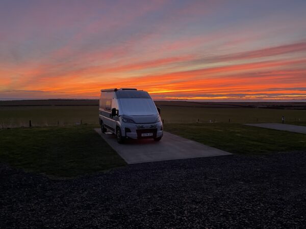
Our parking spot last night on the north Netherlands coast. This is very close to ‘Riddle of the Sands’ country: a rather different coastline from the beaches near Arisaig used for “Local Hero” (but we did visit those on a previous campervan trip).

Peak Campervanning

At the end of November, I popped up to the Derbyshire Peak District for a weekend, and posted some photos here. At the time, I mentioned that I had taken some video footage too, and I finally got around to editing it into something watchable, at least by those who enjoy amateur travelogues. 🙂

(Direct YouTube link)

It’s good to be back

We’re spending a week around Christmas in a cottage in the Lake District.

It’s very wet, very windy, and as beautiful as ever.

Peak-walking

One Friday night, in the dark, towards the end of November, I set off from home in the direction of the Derbyshire Peak District. Three hours later, I parked my campervan in the car-park of a friendly pub, and settled down for a night of testing its heating system against the outside temperatures, which had dropped well below zero!

But the following morning dawned bright and clear, and I could see the edge of Ladybower Reservoir.

With the sun still only on the hilltops, I headed up the frosty path behind the pub, looking forward to emerging into the brightness above.

Before too long, I was looking down at sunlit fields of happy sheep…

and the reservoir I had left behind.

Once up on the top of Derwent Edge, the path was easy and, though the air temperature was low, there was almost no wind, which made for delightful walking conditions.  I met many other travellers who were enjoying it as much as I was.

Places that might have been very muddy were now frozen, and the places that might have been untraversable bog…

were crossed by well-maintained paths, winding into the distance.

It really is a very pretty area…

…with lots of fun and varied rock formations en route.

But it’s not without its perils.  Many an unwary traveller has become prey to the giant prehistoric lizard who hides behind one of the ridges and creeps up on them from behind after they have passed by.

Despite this, I was having such a good time that I got a bit carried away, and what had been intended as a short morning stroll got extended for mile after mile after mile.

Though the weather was lovely, the areas in shadow were still frozen, and I was impressed at the dedication of the couple who had given up this quantity of their bodily warmth, long before I appeared on the scene, to record their affection on a thick slab of stone!

By this point I had done about eight miles and was starting to be more aware of the fact that I had set off without even a biscuit (since I had expected to be back for lunch!)

So I was glad when I reached the path theat would take me back to the reservoirs below: a gully cutting down through the Howden Moors.

The sun was getting lower, and much of this area was in shadow. Icicles dripped beside me…

…and in places I was rather conscious of the perilous drops to my right, as I, a tired, lone traveller, contemplating the likely time of sunset and remembering the temperatures of the night before, negotiated a path that I think was primarily used by the local sheep.  The slimmer individuals amongst the local sheep, too…

So it was with some relief that I made it down to more sheltered, level ground again in the last vestiges of the sunshine.

However… it was still 3 or 4 miles back to the van, so I set off in the gathering gloom along the side of the reservoir, passing the impressive Derwent Dam where the Dambuster squadron used to practice.

Just beyond the dam, I joined a lovely woodland path, broad and well-maintained, which was good because by that point I was dependent entirely on moonlight to avoid any obstructions!  The trees were just slightly darker patches of black to my left and right.  But I managed to avoid walking into them, or tripping over their roots, and so it was that I arrived, footsore but happy, back at the van, whence I had set off for a short morning walk after a small bowl of cereal 15.3 miles earlier!  

A lovely area for walking and highly recommended, though I do suggest you also take a biscuit or two!


More information about the rest of the trip should be coming before too long on the campervan section of my YouTube channel.

The effects of a pub lunch?

Spotted in the skies above Derbyshire a couple of weeks ago. First thing in the morning, perhaps after a good strong coffee…

Later in the day, in those same skies…

Phew, Bob – that was a bit close!…

© Copyright Quentin Stafford-Fraser